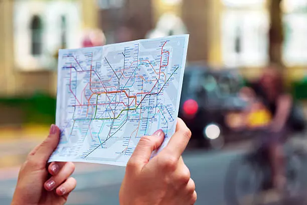
Technology-Based Solutions for Effective Public Transport Navigation in London
Navigating the extensive public transport network of London can sometimes be daunting, especially for newcomers to the city. However, with the advent of technology, various solutions have emerged to help residents and visitors efficiently navigate the bustling transportation system. Public Transport Navigation in London
In this article, we will explore some of the top technology-based solutions available for effectively navigating public transport in London.
1. Transport for London (TfL) Mobile Apps
Official Guidance at Your Fingertips
Transport for London (TfL) has developed a range of mobile apps that provide comprehensive guidance and real-time information for navigating the city’s public transport network. These apps are designed to assist commuters in planning their journeys, tracking live departure times, and accessing up-to-date service disruptions and alerts.
The TfL mobile apps, such as “TfL Oyster,” “TfL Journey Planner,” and “TfL Bus Tracker,” offer features like route planning, fare information, and detailed maps of the London Underground, buses, trams, and river services. They also provide information on accessibility, station facilities, and step-free access options, ensuring a seamless journey for individuals with specific needs. By utilizing the official TfL mobile apps, you can stay informed about your travel options, make efficient route choices, and navigate London’s public transport system with ease.
2. Citymapper Public Transport Navigation in London
Your Personalized Journey Planner
Citymapper is a popular and highly intuitive mobile app that offers comprehensive journey-planning services for public transport in London. With its user-friendly interface, Citymapper provides personalized route suggestions by integrating multiple modes of transportation, including buses, trains, trams, cycles, and even ridesharing services. The app takes into account real-time data, service disruptions, and traffic conditions to offer the most efficient travel options.
Citymapper also provides detailed step-by-step directions, including estimated travel times, platform information, and even the specific entrances and exits to use at stations. The app features a variety of useful features such as live departures, disruption alerts, and bike availability for cycle hire schemes. Furthermore, Citymapper’s “Get Me Home” function helps you plan your return journey effortlessly, ensuring a stress-free travel experience in London.
3. Google Maps
Seamless Navigation with Real-Time Updates
Google Maps, a widely used navigation app, also offers excellent functionality for navigating public transport in London. With its integration of London’s transportation data, Google Maps provides comprehensive directions and real-time updates for various modes of transport, including buses, underground trains, trams, and even the Thames Clipper River services.
Using Google Maps, you can plan your route by inputting your starting point and destination, and the app will offer several options with estimated travel times, interchanges, and walking directions. It also provides live departure times, service alerts, and alternative route suggestions in case of disruptions. Google Maps’ user-friendly interface and familiarity make it a reliable choice for many travelers looking to navigate London’s public transport system effectively.
4. Contactless Payment and Oyster Card
Convenient and Cashless Travel
London’s public transport system has embraced contactless payment methods, which simplify the process of using buses, trains, trams, and the Underground. Travelers can utilize contactless credit or debit cards, as well as mobile payment solutions like Apple Pay and Google Pay, to tap in and out at station gates and on buses.
Additionally, the iconic Oyster card remains a popular choice for locals and visitors. The Oyster card is a smart card that can be pre-loaded with pay-as-you-go credit or loaded with various travel passes. It allows for seamless and cost-effective travel across different modes of public transport in London, offering discounted fares compared to cash payments.
By using contactless payment methods or an Oyster card, you can enjoy the convenience of tapping in and out without the need to purchase separate tickets, making your journeys through London’s public transport system smoother and more efficient.
Final Thoughts about Public Transport Navigation in London
Technology-based solutions have significantly improved the experience of navigating public transport in London. Whether you choose to use the official TfL mobile apps, Citymapper, Google Maps, or embrace contactless payment methods, these tools provide real-time information, personalized journey planning, and convenient payment options. By leveraging these tech solutions, residents and visitors can navigate London’s public transport system with confidence, ensuring efficient and hassle-free travel throughout the city.
Ready to revolutionize your travel experiences? Step into the future with Alertify! Our shop is loaded with the latest in travel technology, curated to make your trips safer, easier, and more exciting. Whether you’re looking for cutting-edge navigation tools, language translation apps, or the best gadgets for on-the-go, Alertify has it all. Don’t just travel – travel smarter. Explore our collection now and unlock a world of possibility!


